|
General Geography of Barbados page 2 |
|
Geography
|
|
Other Coastal Features
|
|
Sugar Production
Mechanisation |
|
Agriculture And Soil Preservation
|
|
Activities
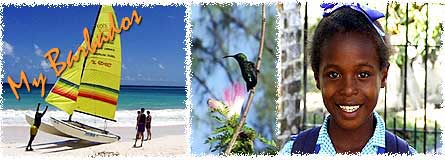
Barbados
Beaches
Calendar
Diving
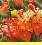
Ecology
Exploring
Fun Facts
Geography
History
Home
Hotels
MDDM
Restaurants
& Nightlife
Tourism
Transport |